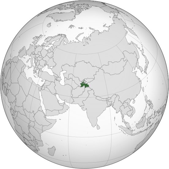
Faylo:Tajikistan (orthographic projection).svg

此 SVG 檔案的 PNG 預覽的大小:553 × 553 ko kasapinang no siyang-su。 o romaay a cyi-si-tu: 240 × 240 ko kasapinang no siyang-su | 480 × 480 ko kasapinang no siyang-su | 768 × 768 ko kasapinang no siyang-su | 1,024 × 1,024 ko kasapinang no siyang-su | 2,048 × 2,048 ko kasapinang no siyang-su.
satapangan tang’an (SVG tang^an,tata’ak no laleko:553 × 553 syang-su no sya-sing, o tata’ak no tang^an:304 KB)
o likisi no tang’an
pili’en a mimi^mi ko romi’ad/ tok, ta misongila’ a minengneng to tang’an rorong nora tatokian
| O romi’ad/ toki | nisamamangan a conga | o tata’ak ato karaya’ | micokaymasay | pipatongalan to sowal | |
|---|---|---|---|---|---|
| Aniniay/imatinaay | 2015年3月17日 (tinosa) 07:41 |  | 553 × 553(304 KB) | Flappiefh | Removed Somaliland and Kosovo. Separated Western Sahara and Morroco. |
| 2013年8月5日 (tinocay) 00:39 |  | 553 × 553(308 KB) | Flappiefh | Added South Sudan. The map is now centered on Tadjikistan. | |
| 2011年5月16日 (tinocay) 17:21 |  | 550 × 550(485 KB) | Eddo | graphic design? | |
| 2011年1月24日 (tinocay) 00:24 |  | 107 × 107(79 KB) | RaviC | {{Information |Description={{en|Location of Tajikistan. Taken from [http://www.un.org/Depts/Cartographic/map/profile/tajikist.pdf UN Map]<br/> en:Category:Maps of Tajikistan}} |Source=Transferred from [http://en.wikipedia.org en.wikipedia]; transf |
sakatayal no tang’an
Onini laenoay makakafit ko felihtayi tonini a tang^an:
O laleko no tang^an i po:long no micokaymas
i kalaenoay oya no roma a wiki micokaymas tonini a tang^an :
- O demak to picokaymas no ace.wikipedia.org
- O demak to picokaymas no ady.wikipedia.org
- O demak to picokaymas no af.wikipedia.org
- O demak to picokaymas no als.wikipedia.org
- O demak to picokaymas no ar.wikipedia.org
- طاجيكستان
- بوابة:العالم الإسلامي/دولة مختارة/أرشيف
- بوابة:العالم الإسلامي/دولة مختارة/29
- بوابة:طاجيكستان
- بوابة:طاجيكستان/واجهة
- قائمة الدول ذات السيادة والأقاليم التابعة في آسيا
- معاملة المثليين في طاجيكستان
- العلاقات الأمريكية الطاجيكية
- العلاقات الأنغولية الطاجيكستانية
- العلاقات الطاجيكستانية الكورية الجنوبية
- العلاقات الإريترية الطاجيكستانية
- العلاقات السويسرية الطاجيكستانية
- العلاقات الألمانية الطاجيكستانية
- العلاقات الطاجيكستانية الليختنشتانية
- العلاقات البوليفية الطاجيكستانية
- العلاقات الطاجيكستانية الموزمبيقية
- العلاقات الألبانية الطاجيكستانية
- العلاقات البلجيكية الطاجيكستانية
- العلاقات الإثيوبية الطاجيكستانية
- العلاقات البيلاروسية الطاجيكستانية
- العلاقات الروسية الطاجيكية
- العلاقات الرومانية الطاجيكستانية
- العلاقات الأرجنتينية الطاجيكستانية
- العلاقات الطاجيكستانية الغامبية
- العلاقات الطاجيكستانية القبرصية
- العلاقات السيراليونية الطاجيكستانية
- العلاقات الطاجيكستانية النيبالية
- العلاقات الطاجيكستانية الليبيرية
- العلاقات التشيكية الطاجيكستانية
- العلاقات الطاجيكستانية الميانمارية
- العلاقات الطاجيكستانية الكندية
- العلاقات الزيمبابوية الطاجيكستانية
- العلاقات الإسرائيلية الطاجيكستانية
- العلاقات البالاوية الطاجيكستانية
- العلاقات الطاجيكستانية المالية
- العلاقات الطاجيكستانية النيجيرية
- العلاقات اليمنية الطاجيكستانية
- العلاقات الطاجيكستانية الفانواتية
- العلاقات الغابونية الطاجيكستانية
- العلاقات البنمية الطاجيكستانية
- العلاقات الطاجيكستانية الكوبية
- العلاقات الجورجية الطاجيكستانية
- العلاقات التونسية الطاجيكستانية
- العلاقات الطاجيكستانية الكورية الشمالية
- العلاقات الهندية الطاجيكية
- العلاقات اليابانية الطاجيكستانية
misongila’ a minengneng tona matongal ko hekal to picokaymas no tang’an
